About this PNG
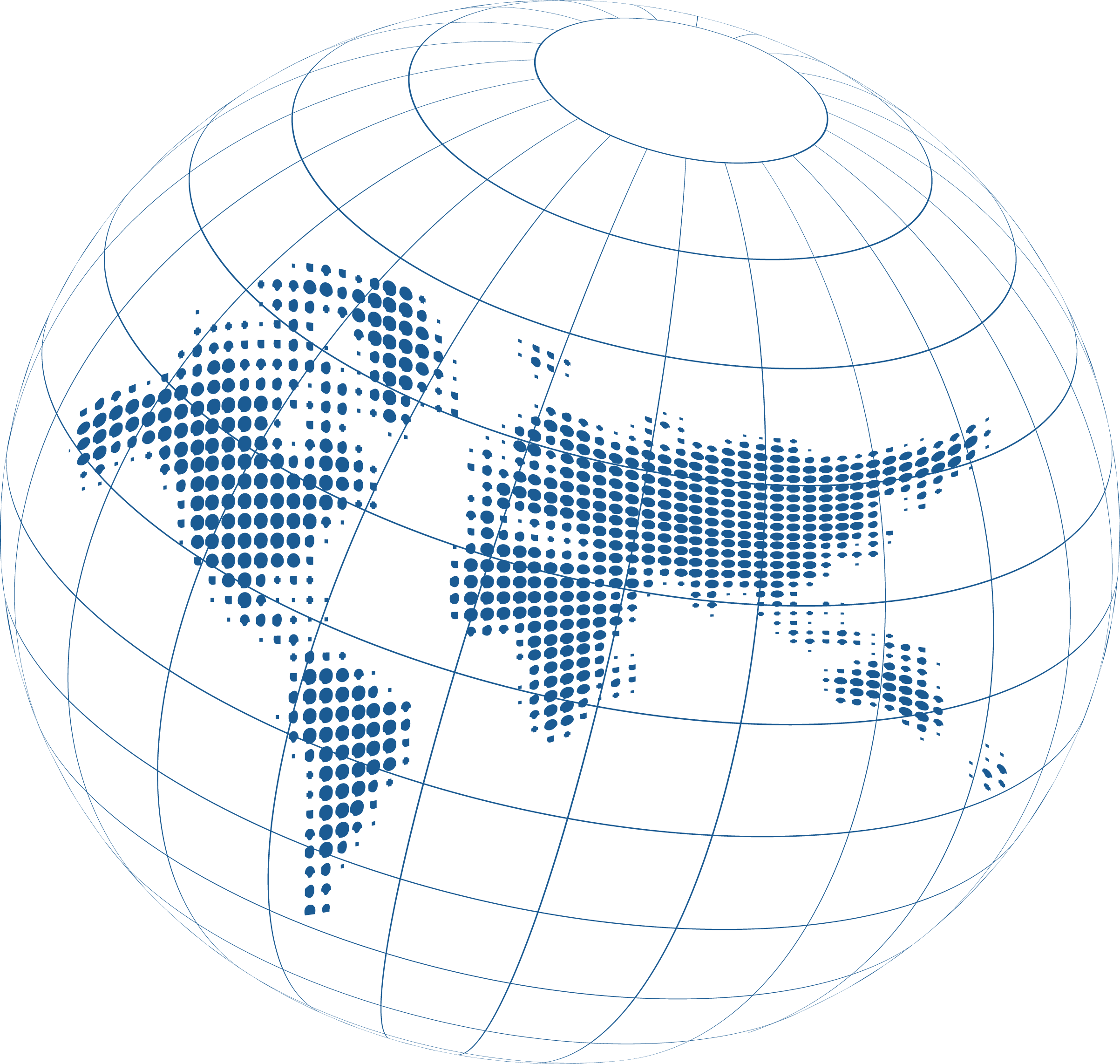
This Earth-themed PNG graphic shows a sleek digital globe constructed from fine blue wireframe latitude and longitude lines converging toward an open polar circle, paired with a halftone dotted world map projected across the center. Medium-blue circular dots of varying sizes form North and South America, Europe, Africa, and Asia in a clean data-matrix pattern without solid fills, heavy shading, or text labels. The combination of curved spherical grid lines and flat dotted continents gives the graphic a modern, technical look suited for analytics and global connectivity themes. It works well for technology presentations, data dashboards, cybersecurity and network slides, telecommunications banners, web headers, and dark-themed digital layouts where a clean, futuristic world globe adds visual structure and clarity.
Blue Dotted World Map Inside Wireframe Globe Grid
Digital blue Earth globe featuring a halftone dotted world map inside fine wireframe latitude and longitude lines for tech, data, and network designs.
- Dimensions
- 2,405 × 2,284 px
- Transparency
- Partial
- License
- Rights Cleared
- File format
- PNG
PandaPNG or the contributor has confirmed that this asset is original, licensed, public-domain, or otherwise accompanied by sufficient rights for the uses specifically stated on its asset page.
Read licensing guidance